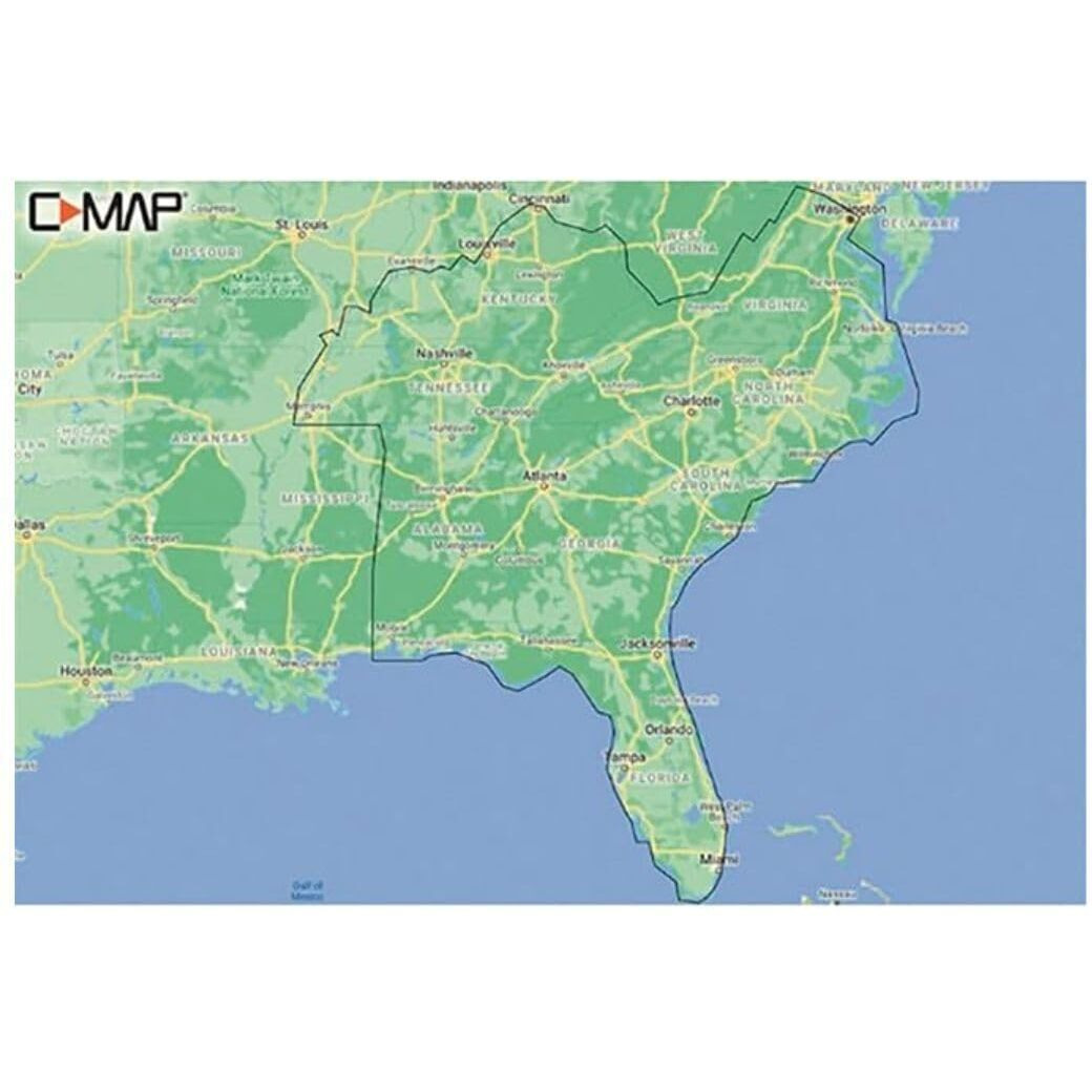
Whether Cruising, Fishing Or Sailing, C-Map Reveal Lakes Charts Offer The Very Best Of C-Map. With Shaded Relief, Including Reveal Seafloor, Aerial Photography And Satellite Overlay Presentation Added To The Core C-Map Features Found In Discover - Full-Featured Vector Charts, With Custom Depth Shading, Tides Currents And Easy Routing. It Also Includes The Very Best Of C-Map High Resolution Bathymetry, Including Integrated Genesis Data.
Actual product packaging and materials may contain more and/or different information than that shown on our website. We recommend that you do not solely rely on the information presented and that you always read labels, warnings, and directions before using or consuming a product.
For additional information about a product, please contact the manufacturer. Content on this site is for reference purposes and is not intended to substitute for advice given by a physician, pharmacist, or other licensed health-care professional. ZiFiti does not assume liability for inaccuracies or misstatements about products.
Statements regarding dietary supplements have not been evaluated by the FDA and are not intended to diagnose, treat, cure, or prevent any disease or health condition.


")


")